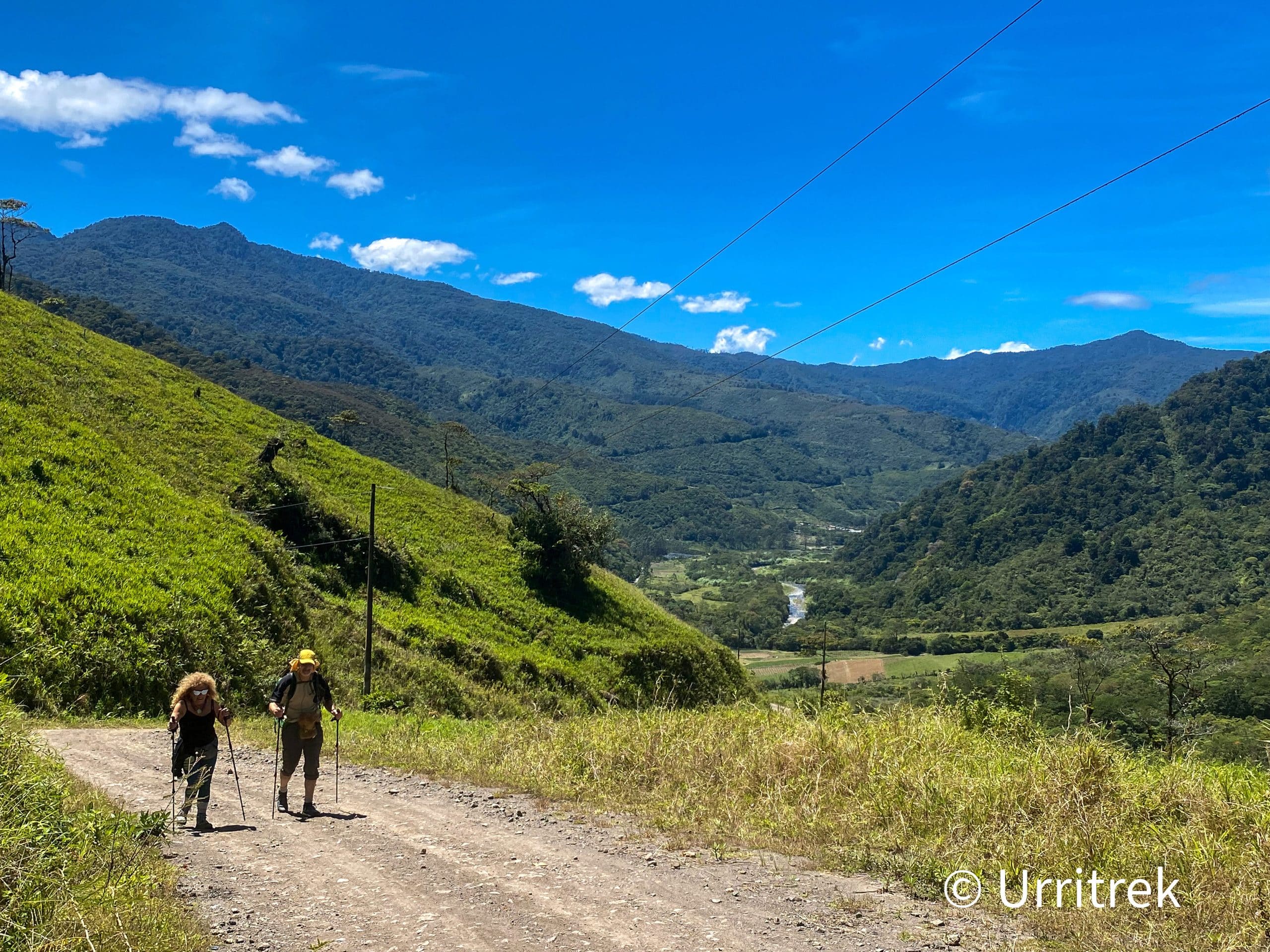
This stage follows the rural Route 408 for nearly its entirety. The road leaves Humo de Pejibaye and the amount of transiting vehicles quickly drops off to barely intermittent. Soon it will be virtually none as the slowly deteriorating road passes farms and pastures that become more and more dispersed. This is now a walk of serenity and tranquility.
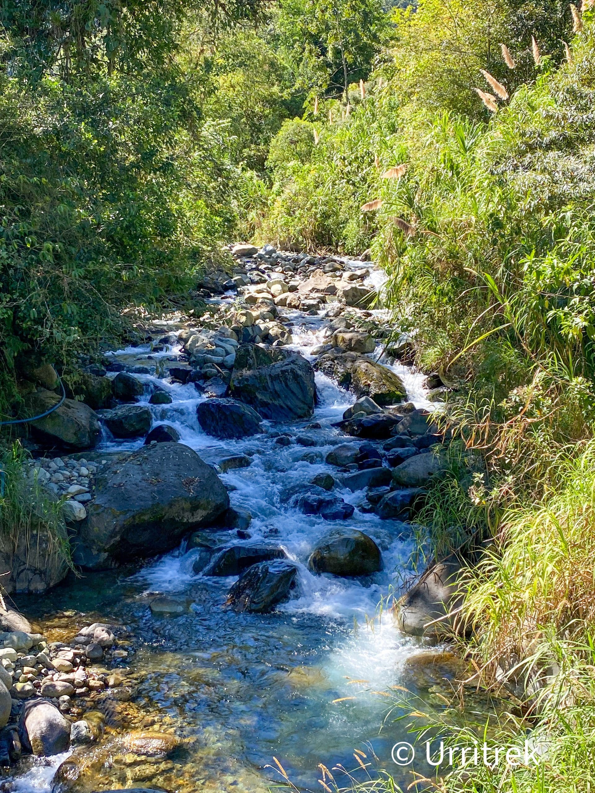
Other than one brief descent down to a river crossing, this stage will climb at first gently, and later more steeply, for more than 12 kilometers and gain over 1,100 meters (3,600 feet) before dropping nearly 500 meters (1,600 feet) down to Tapanti National Park.
Over the second half of the ascent, the road becomes more and more neglected before becoming a road that vehicles can pass closer to the top of the climb as residences come into view.
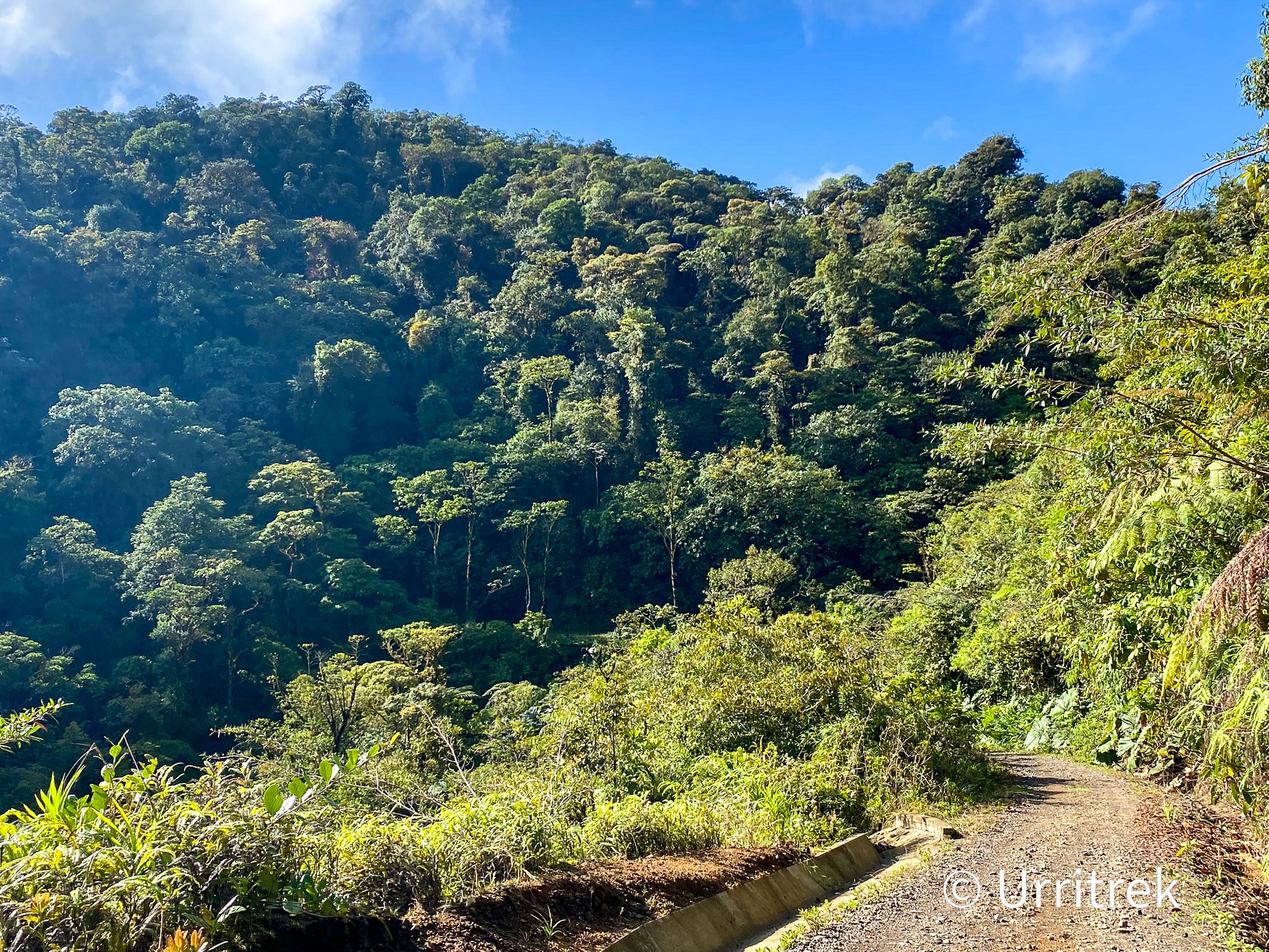
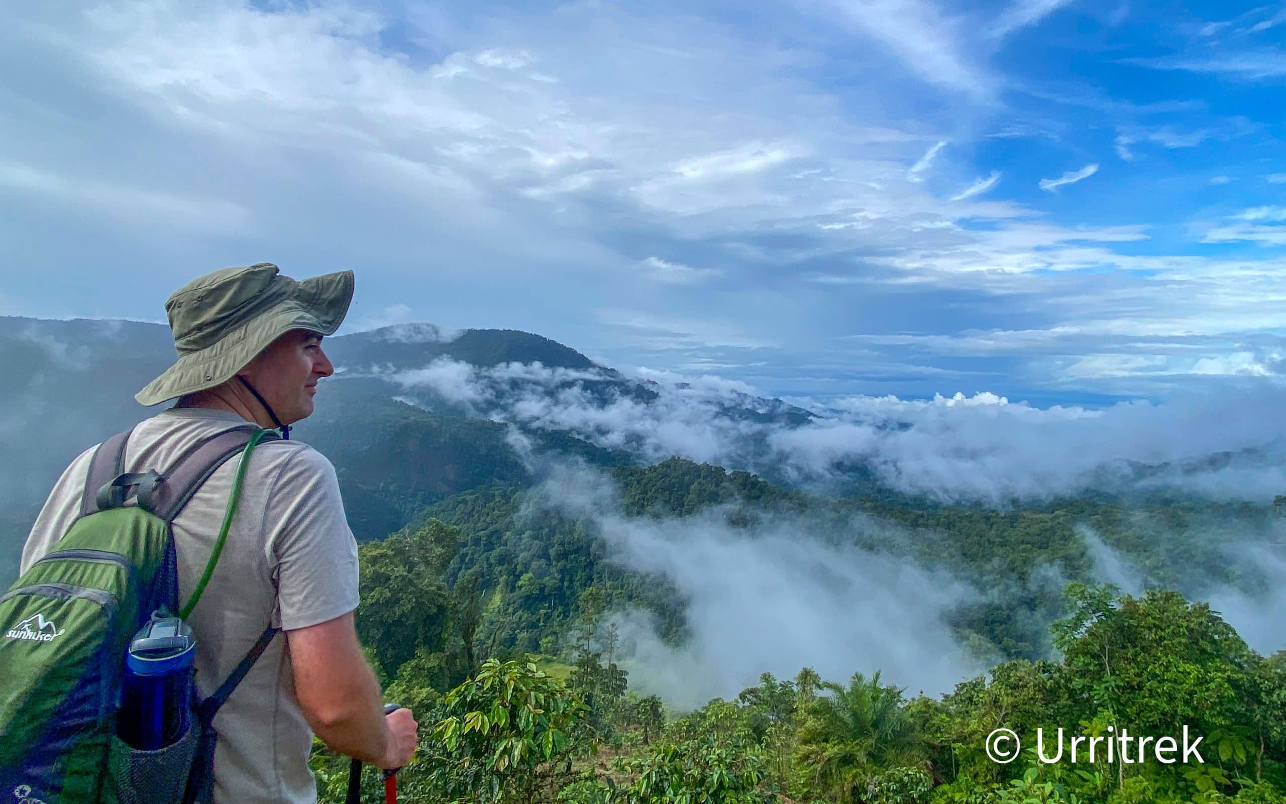
From the height of land there is a beautiful view of the river valley below and Tapanti National Park.