Stage 2

Towns that you will walk through

  • Cimarrones
  • Las Brisas de Pacuarito
Level
Intermediate
Distance
14.6 Km
Elevation gain
725m
Descent
196m

Access more information at

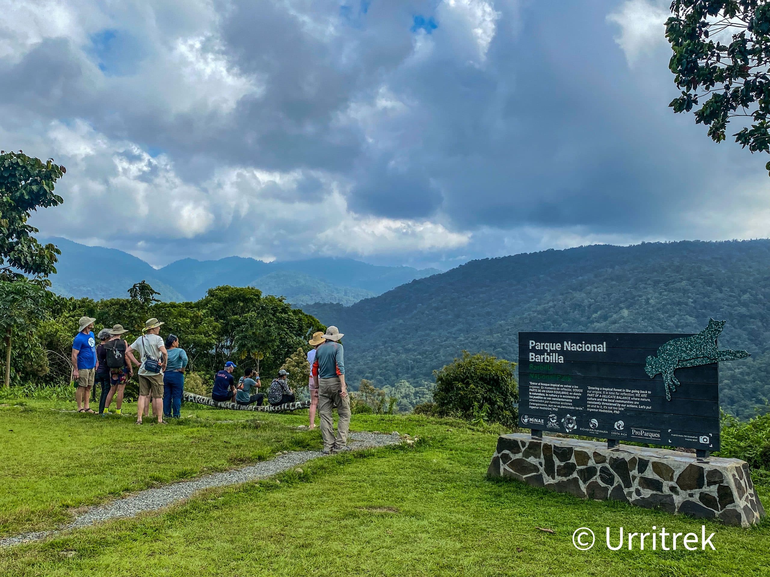
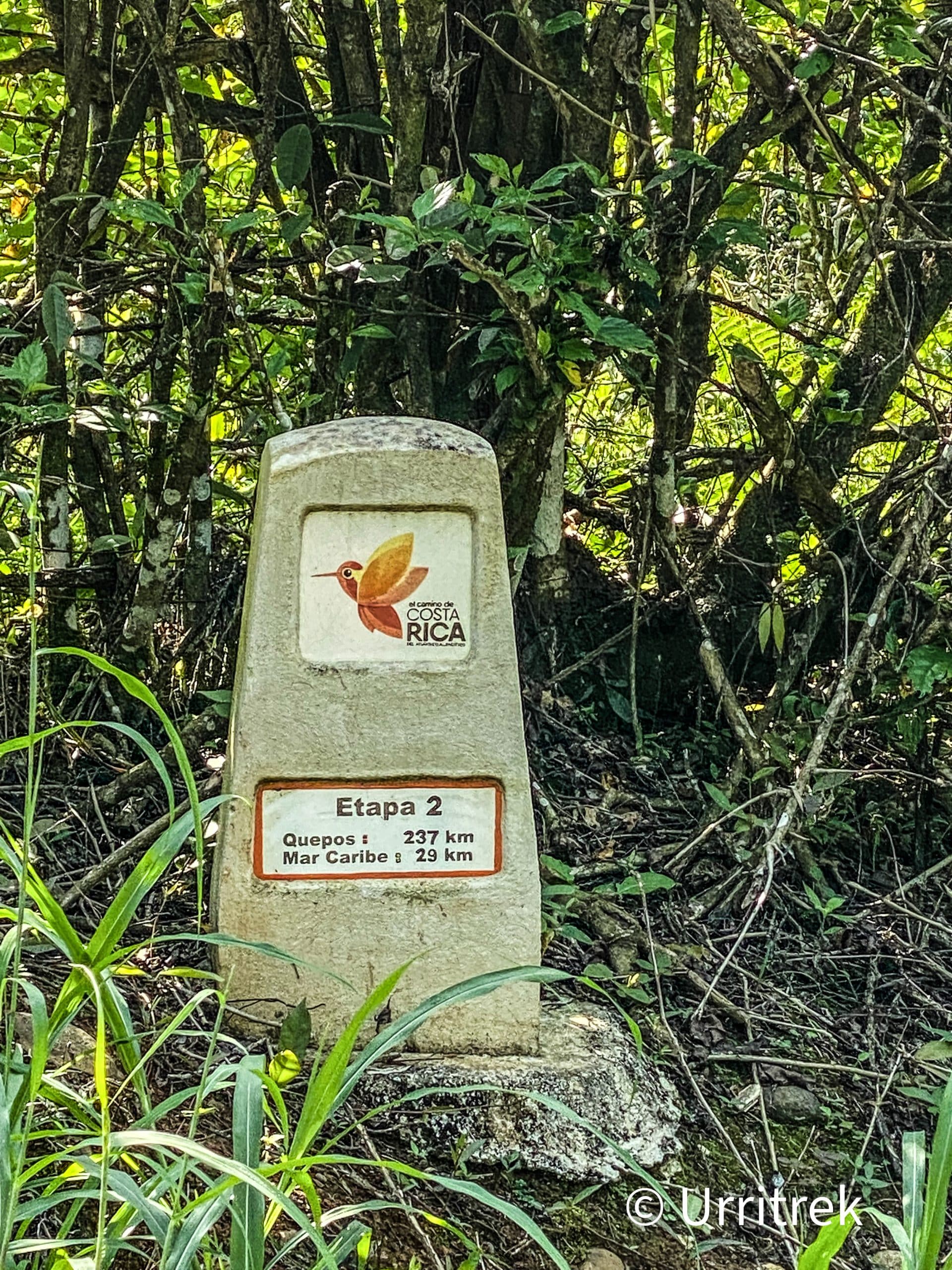
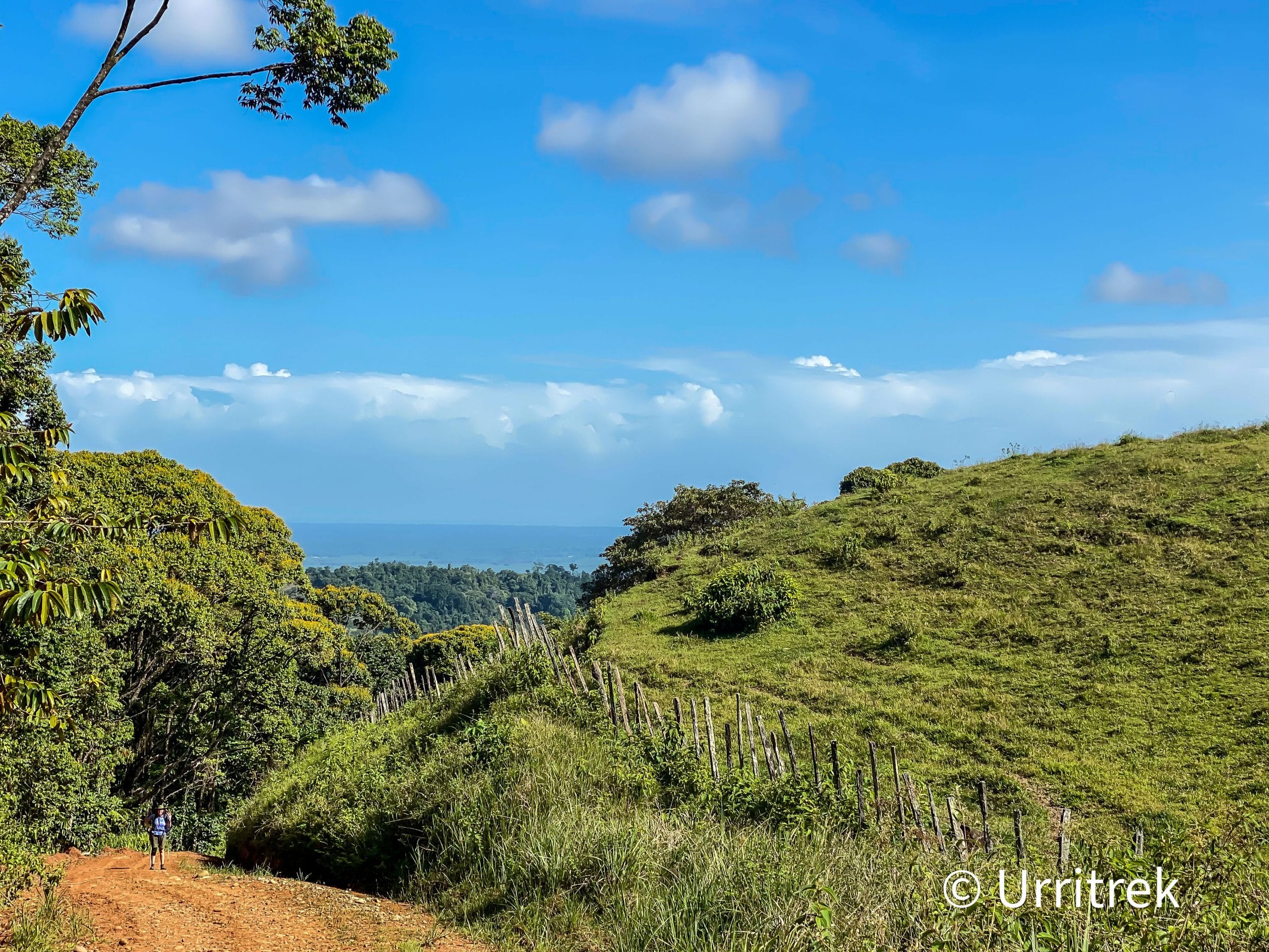
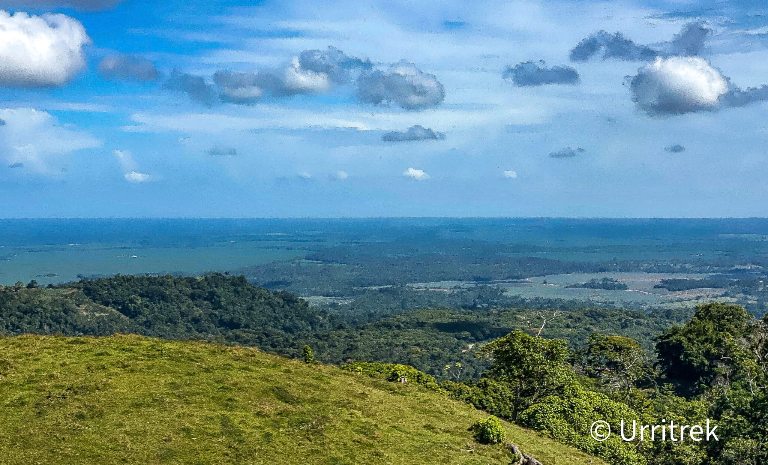
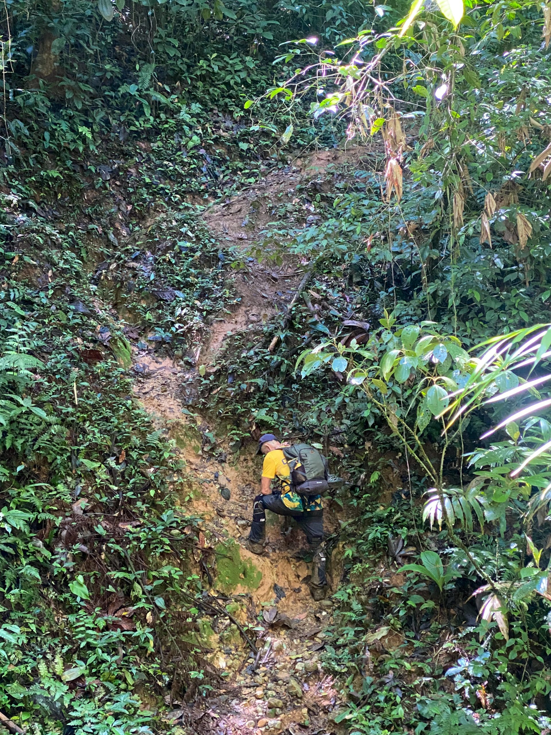
On this stage we leave the heat and humidity of the coastal plain behind and ascend 725 meters (2,379 feet). After carefully walking along and crossing Highway 32, we ascend on a gravel road that slowly transitions into a far less used road the further up it we go. The climb is relentless over much of the first half of the stage where the majority of the elevation gain occurs. Scattered residences give way to farms, which give way to open grazing land. The rough, eroded gravel of the steeper grades becomes dirt roads on the flats where mud can reach over the tops of shoes. The views in the open areas are of rolling hills and farms while the views back early on are the final ones of the coastal plain and the Atlantic Ocean. Finally we emerge at the entrance to Parque Nacional Barbilla and the Cabecar Indigenous Territory of Nairi Awari.

Activities

Upon arrival at Las Brisas de Pacuarito, we can enjoy a folklore ceremony presented by the students at the local community school. For details contact +506 8440-7639.

At the Salon Nairi Awari, a presentation of Cabecares indigenous customs can be arranged.

In the Parque Nacional Barbilla we can see examples of research being conducted with large wild cats and videos captured with infrared cameras.

For details contact +506 8518-7802

Access more information at

  • Brisa Sabor Casero Caribeño

    Las Brisas de Pacuarito
    Services
    • Restaurant

Access more information at

Complementary information

The entrance into this indigenous territory, The Nari Awari Indigenous Reserve, which will occur in Stage 3, is prohibited unless accompanied by a local guide. It is wild, spectacularly beautiful section and potentially dangerous. The guide services MUST be set up in advance with Alexander Martinez +506 8440-3095, Leo Martinez +506 8504-3216, or Clenet +506 8528-3475.